Planning a Camping Route in Mountain Terrain
Planning a camping route in mountain terrain involves a systematic approach to terrain analysis, resource identification, and risk management. Unlike lowland excursions, alpine environments present unique challenges such as rapid weather changes, limited water availability, and significant elevation changes. A well-structured plan integrates these factors to create a safe and enjoyable experience.
This article outlines key considerations for route planning, focusing on elevation gain, water sources, campsite locations, and weather windows. By following a methodical process, campers can make informed decisions that align with their skills and objectives. The information provided is general in nature and should be adapted to specific locations and conditions.
It is important to note that mountain environments are dynamic, and even the best plans require flexibility. Continuous assessment and adjustment are essential components of any backcountry trip. The goal is to provide a framework that supports informed decision-making rather than prescribing fixed itineraries.
Understanding Elevation Gain and Terrain
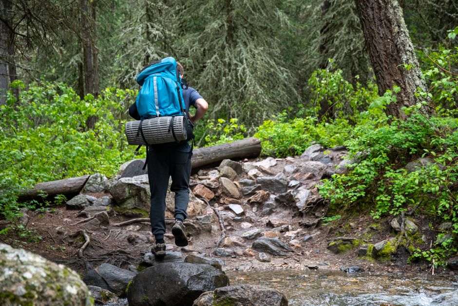
Elevation gain is a critical factor in mountain route planning. It affects physical exertion, time estimates, and acclimatization needs. A route that gains 1,000 feet over a mile is significantly more strenuous than one gaining the same amount over five miles. Therefore, calculating total elevation gain and understanding the gradient are essential for realistic planning.
Topographic maps and digital tools can help quantify elevation gain. Contour lines indicate steepness: closely spaced lines suggest steep terrain, while widely spaced lines indicate gentler slopes. When planning, consider not only the total gain but also the distribution of climbs and descents. A route with multiple steep sections may require more rest stops and could be slower than a steady climb.
Acclimatization to altitude is another consideration. At higher elevations, the air is thinner, and oxygen availability decreases. This can lead to altitude-related illnesses if ascent is too rapid. A common approach is to limit sleeping elevation gain to 1,000–1,200 feet per day once above 8,000 feet, with a rest day every 1,000 feet of ascent. However, individual responses vary, and it is wise to monitor how you feel and adjust accordingly.
Terrain features such as scree slopes, talus fields, and snow patches can impact travel speed and safety. Scree and talus require careful footing and can be tiring, while snow may necessitate additional equipment like traction devices or an ice axe. Planning should account for these surface conditions and the skills required to navigate them. It is advisable to research route conditions through local ranger stations or recent trip reports.
Finally, consider the cumulative effect of elevation gain over multiple days. A route that gains 3,000 feet over three days is different from one that gains 3,000 feet in a single day. Breaking up the gain allows for better acclimatization and reduces fatigue. The plan should include contingency options in case the group needs to slow down or turn back.
Identifying and Managing Water Sources
Water is a vital resource in mountain environments, but it is not always readily available. Alpine areas may have fewer streams and lakes, and some sources may be seasonal or contaminated. Planning a route requires identifying potential water sources and understanding their reliability. Maps, guidebooks, and local knowledge can help pinpoint springs, creeks, and lakes, but these should be verified with recent information.
When evaluating water sources, consider the time of year and recent weather patterns. Snowmelt-fed streams may be plentiful in early summer but dry by late summer. Conversely, late-season trips might find more reliable sources in high alpine lakes or springs. It is prudent to carry extra water capacity and a means of treating water, such as a filter or chemical tablets, to ensure safety.
Water treatment is essential in backcountry settings. Even seemingly clear water can contain pathogens. Common methods include filtration, chemical treatment, and boiling. Each has advantages and limitations: filters are effective but can clog, chemicals take time to work, and boiling requires fuel. Carrying a backup method is a good practice.
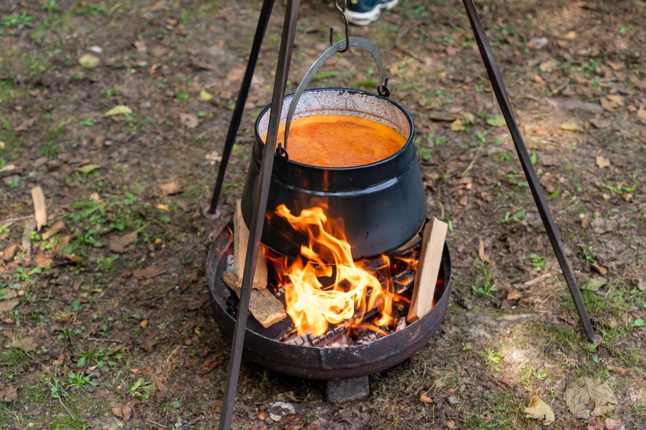
In addition to drinking water, consider water for cooking and hygiene. Plan for at least 2 liters per person per day for drinking, plus additional for meals, though needs increase with exertion and altitude. Dry camping, where no water source is available, may be necessary on some routes. In such cases, carrying all water for the segment is required, which adds weight to the pack.
It is also important to practice Leave No Trace principles when using water sources. Avoid contaminating water with soap, food, or waste. Collect water downstream from where you camp and use biodegradable soap sparingly, if at all. These practices help preserve the environment for future visitors.
Selecting Campsite Locations
Campsite selection in mountain terrain involves balancing safety, comfort, and environmental impact. A good campsite is level, well-drained, and protected from wind and hazards. It should be at least 200 feet from water sources and trails to minimize impact and comply with regulations. In alpine areas, established sites are preferable to avoid damaging fragile vegetation.
Safety considerations include avoiding areas prone to rockfall, avalanches, or flash floods. Look for a site that is not directly beneath steep slopes or in a drainage. Dead trees or branches, known as snags, can fall unexpectedly, so avoid camping under them. Also, consider the possibility of lightning; exposed ridges and peaks are risky during thunderstorms, so lower elevations or sheltered areas are better.
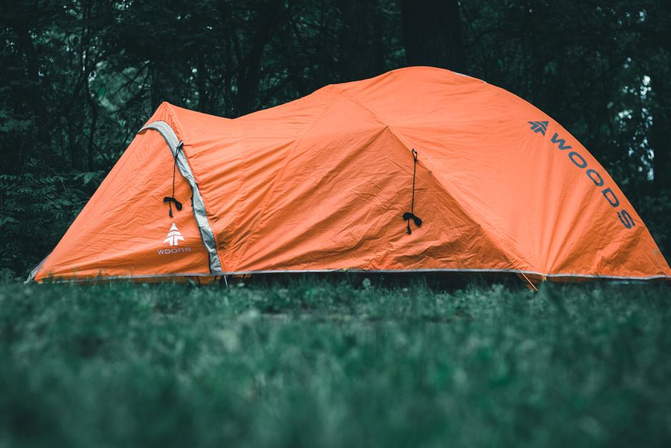
Comfort factors include a flat sleeping surface and natural windbreaks like trees or rock outcrops. In exposed alpine settings, a strong tent and secure guylines are essential. During colder months, consider sun exposure: an east-facing site warms up earlier, while a west-facing site stays warmer in the evening. However, in hot weather, shade may be preferable.
Environmental impact should guide campsite choice. Use existing sites when possible, and avoid creating new ones. In pristine areas, select a durable surface like rock or gravel. Keep campsites small and avoid altering the site by digging trenches or building structures. Pack out all trash and food waste.
Finally, plan campsites in advance but remain flexible. If a chosen site is unsuitable due to weather or other factors, have alternatives in mind. Camping early or continuing to a better location may be necessary. Always assess the site upon arrival and be willing to move if conditions warrant.
Evaluating Weather Windows and Contingencies
Weather is perhaps the most unpredictable element in mountain planning. Alpine conditions can change rapidly, with clear skies turning to storms within hours. Therefore, understanding weather patterns and having contingency plans is crucial. Before a trip, check forecasts from multiple sources and pay attention to wind, precipitation, and temperature trends.
In the United States, the National Weather Service provides detailed mountain forecasts. However, forecasts beyond a few days are less reliable, especially in complex terrain. It is wise to plan for the possibility of inclement weather and to build flexibility into the itinerary. This might include shorter days, lower elevation routes, or extra days for waiting out storms.
Thunderstorms are a common hazard in alpine areas, particularly in the afternoon. Plan to be below treeline or off exposed ridges by early afternoon. If caught in a storm, descend immediately and avoid isolated trees, water, and metal objects. Lightning safety involves crouching in a ball with feet together if no shelter is available.
Snow and cold can occur even in summer at high elevations. Carry insulation layers, rain gear, and a warm sleeping bag. Hypothermia is a risk if clothing becomes wet, so staying dry is essential. Also, be prepared for snowfields on trails, which may require navigation skills and equipment.
Having a communication device, such as a satellite messenger or personal locator beacon, can be valuable in emergencies. However, these devices should not replace good judgment. Always leave a detailed trip plan with a responsible person and set a check-in schedule. If plans change, communicate updates when possible.
Integrating Planning Elements into a Cohesive Strategy
Effective route planning in mountain terrain integrates elevation, water, campsites, and weather into a single cohesive strategy. Each element influences the others: elevation gain affects water needs and campsite timing, while weather dictates when and where to camp. A successful plan is iterative, with adjustments made as new information arises.
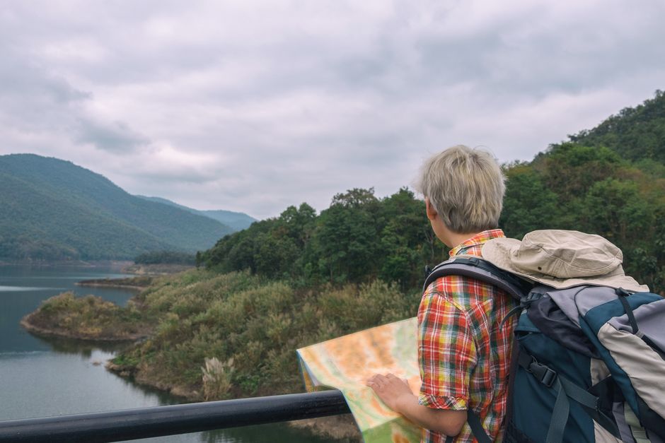
Begin by defining the route objectives and assessing the group’s capabilities. Then, gather data on elevation profiles, water sources, and potential campsites. Use mapping software or paper maps to plot the route and identify key waypoints. Estimate daily distances and elevation gains, and match them to group fitness and acclimatization.
Incorporate buffer time for unexpected delays, such as weather or navigation errors. A common guideline is to plan for no more than 70% of the group’s maximum capacity, leaving room for contingencies. Also, identify bailout points where the route can be exited if needed. These might be trailheads or intersections with other trails.
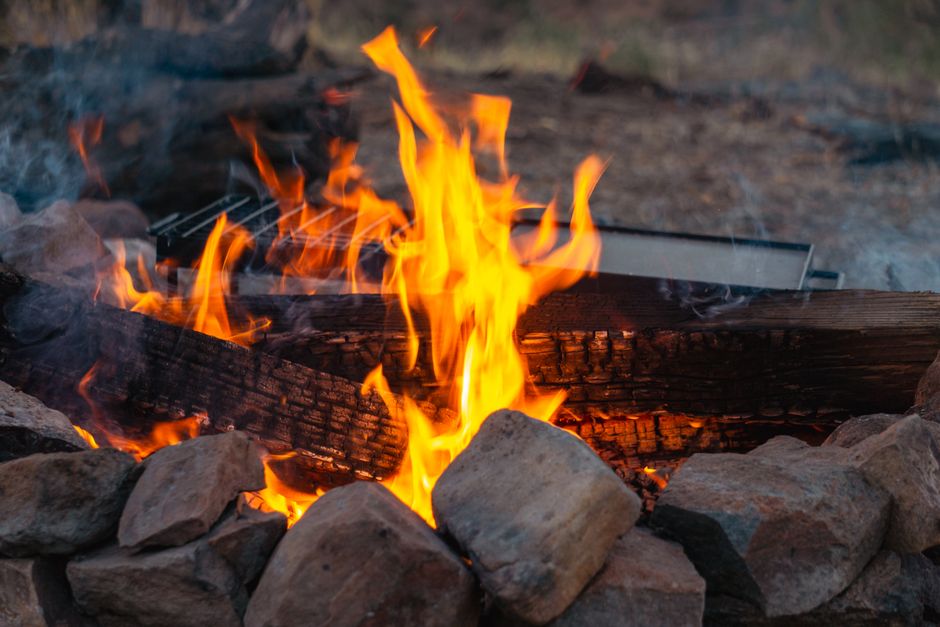
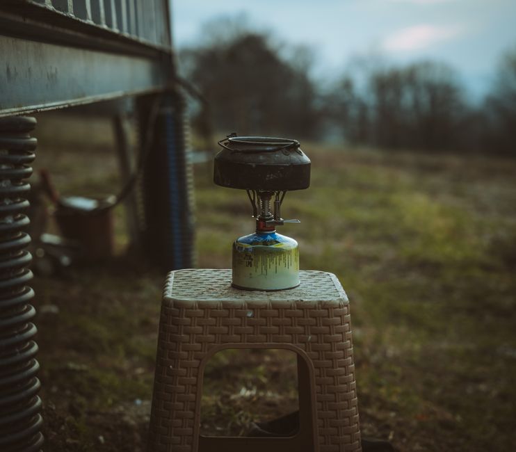
Consider the environmental impact of the entire route. Camp on durable surfaces, pack out all waste, and minimize campfire use. In many alpine areas, campfires are prohibited due to lack of wood and risk of wildfires. A camp stove is a reliable alternative for cooking.
Finally, review the plan with all group members and ensure everyone understands the route, schedule, and safety protocols. Distribute copies of the itinerary and emergency contacts. During the trip, continuously monitor conditions and be prepared to adapt. The goal is to enjoy the experience while managing risks and preserving the environment.
Timberline Basecamp emphasizes the importance of thorough planning and responsible practices. By considering these factors, campers can enhance their safety and enjoyment in mountain settings. Remember that conditions vary, and this information is general in nature. Always seek local expertise and make decisions based on real-time observations.